
Every April or May Team Butler (Anne, Bill, Meg or Molly) would go away on our spring holiday to Scotland. This used to involve a two day drive to reach our eventual destination when we lived in Devon, but now, following our move to Aviemore everything had become significantly closer.
Our 2009 spring holiday was unashamedly a hill bagging trip and we returned home footsore and weather beaten. Bill has decided that next year I will be allowed to drive him round on a week long distillery bagging trip.
I think not.
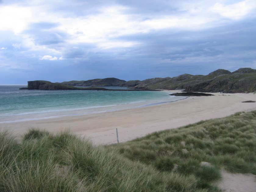
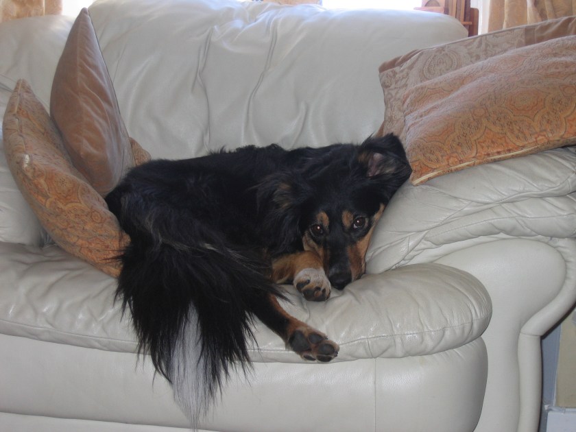
For the first week of our trip we were staying in a cottage in Achriesgill in the north of Sutherland with the beautiful beach at Oldshoremore Bay just down the road. The field next door to the cottage was full of new born lambs which didn’t go down too well with Molly, the world’s most useless Border Collie. She is scared of sheep.

Day One: Sunday 10th May
Cranstackie 801m (Corbett)
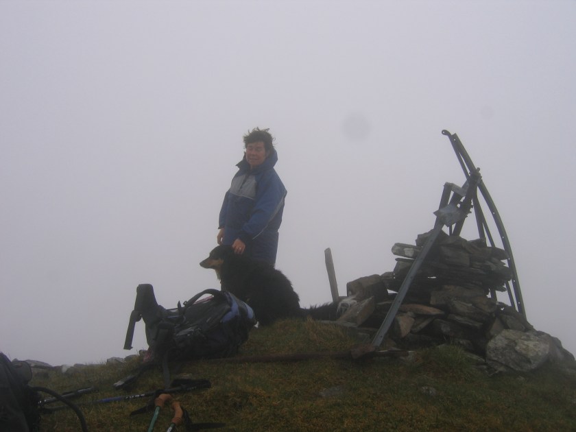
Beinn Spionnaidh 773m (Corbett)……………Molly’s 100th Corbett
Distance: 7 ½ miles
Ascent: 1, 070m
Weather: Warm, dry and sunny
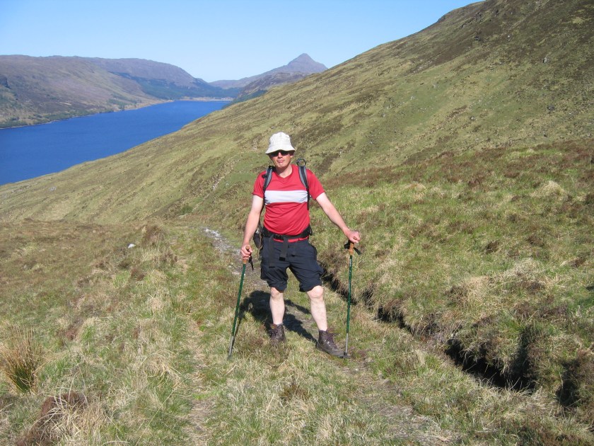
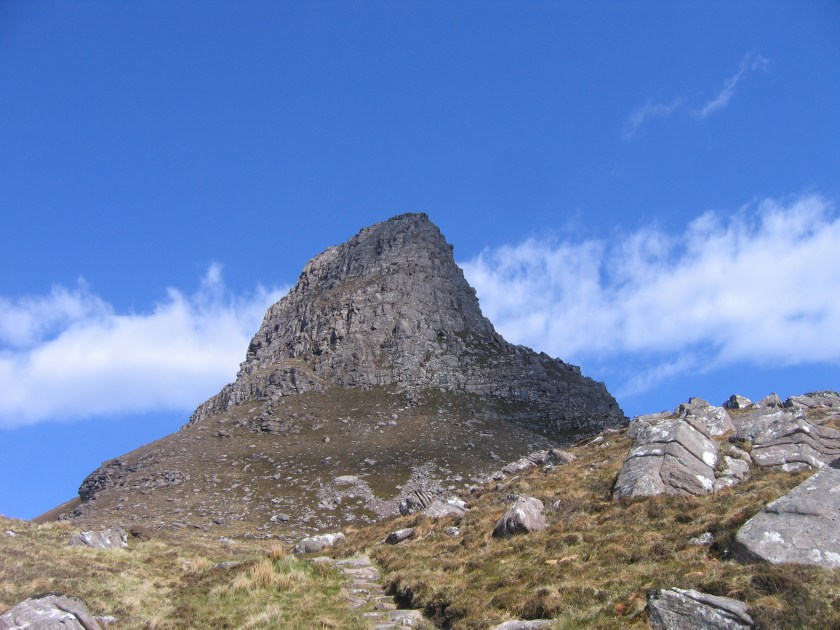
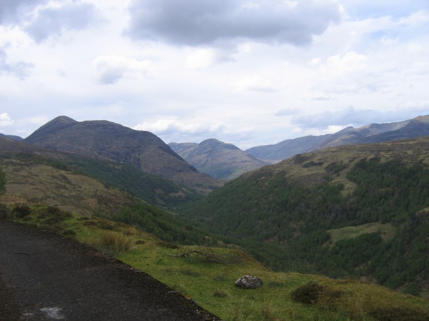
We parked in a lay-by on the A838 and followed a land rover track to the farm at Rhigolter, unsure of which way to go around the farm we took the easy option and went straight through the middle.

The plan was to climb Cranstackie up the obvious shoulder on the NE ridge, however we just took the direct route through the boulder field. Bill found lots of aircraft wreckage in the boulder field. We later found out that this was from an RAF De Havilland Mosquito which crashed in 1943 on a bombing exercise from Wick.

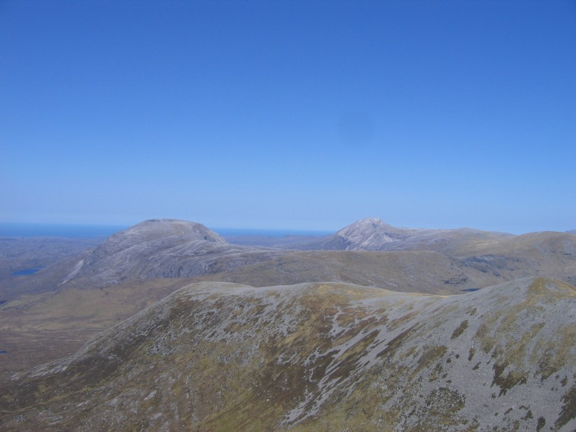
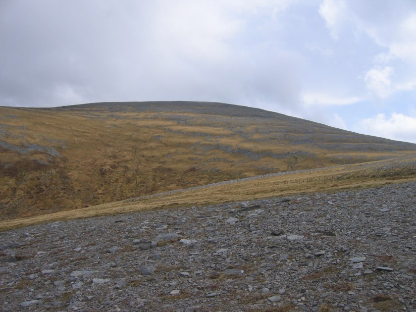
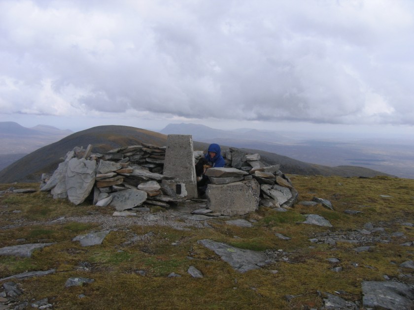
We continued down the NE ridge to the col and then up another smaller boulder field to the summit of Beinn Spionnlaidh. This forms a long flat plateau and as usual the summit is at the far end. There were some very interesting rock formations on the edge of the plateau and extensive views across the northern coast.


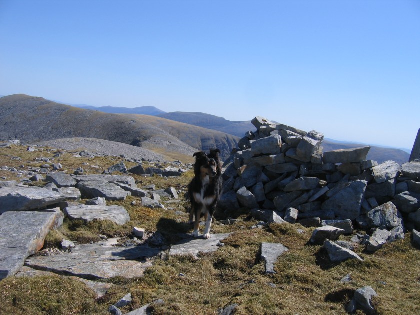
This was Molly’s 100th Corbett, although she didn’t seem that interested in the achievement, she was far too busy checking to see if anyone had left any stray sandwiches around the trig point.

We continued down the NW ridge to the obvious col before descending back to the farm. The SMC guide told us to ‘avoid the incipient crags’…………………but as we had no idea what an incipient crag was we don’t know whether we avoided them or not.

As we had an early finish we drove further north to visit Durness and on the way we ‘happened’ to pass a handmade chocolate shop at Balnakeil called Cocoa Mountain. I would highly recommend the orange and geranium truffles. Chatting to the owner he is trying to open another shop in Aviemore. Not soon enough for my liking.
Day Two: Monday 11th May
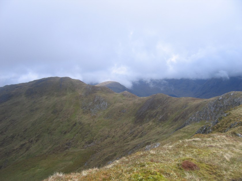
Arkle 787m (Corbett)
Meall Horn 777m (Corbett)
Distance: 15 ½ miles
Ascent: 1, 575m
Weather: Hot, dry and sunny
What a fantastic day.
We parked at the end of Loch Stack and followed the road/track all the way to the boulders at Lone where we took the obligatory photo.


We picked our way up through the boulder slopes alongside a dry stream bed which when viewed from other hills resembles a bulldozed track. We followed the edge of the ridge around to the top at 758m which is marked by a cairn. The whole route is very rough and rocky and certainly not the place to wear a nice new pair of boots unless you want them to gain the ‘distressed’ look very quickly.


The final section is over a quartzite pavement with very deep drops between some of the rocks. This would certainly be very entertaining in soft snow.


We dropped back down the ridge to Lochan na Faoileige. This must be one of the roughest areas of ground I have ever come across and we had a long rest at the lochan, having a paddle to cool our feet before continuing on over a large area of quartzite slabs to the Bealach Horn path.

We crossed the Allt Horn and then some peat hags and the final gentle grassy slopes to the summit added a bit of variety to the climb.

The RAF kept us company during the week as a NATO training exercise was taking place around Loch Eriboll and the north west coast.


We then walked back down to the stalkers path for the long walk out. Unfortunately the estate are doing some work on the path and it was very churned up in places…………quite an eyesore and it certainly didn’t make for easy walking at this late stage in the day.

Almost back at the car, the track would be perfect for bikes but ours were busy collecting dust in our garage in Aviemore
Day Three: Tuesday 12th May
Meallan Liath Coire Mhic Dhughaill 801m (Corbett)
Distance: 10 ½ miles
Ascent: 1, 050m
Weather: Hot, hot, hot
We woke up to another flawless day, this time even hotter than the last two and drove a bit further along the A838 to Kinloch and parked in a lay-by at the start of the track. Again it was a very scenic walk in, this time along the shores of Loch More to Aultanrynie.

Just before the house a track leads up to the right and continues to almost 500m at the start of the Meallan Liath Beag ridge. The stalkers path made for very quick progress but it was hot and hard work………………still mustn’t complain, this was more than likely to be the all to brief summer fortnight!


Once we reached the top of the track the Meallan Liath Beag ridge looked very straight forward and the summit of MLCMD looked almost within touching distance. We were wrong on both counts.
Meallan Liath Coire Mhic Dhughaill has the longest hill name in the UK. Apparently.


Day Four: Wednesday 13th May
Beinn Leoid 792m (Corbett)
Meallan a’ Chuail 750m (Graham)
Distance: 10 miles
Ascent: 1, 030m
Weather: Warm, dry and sunny with very strong winds
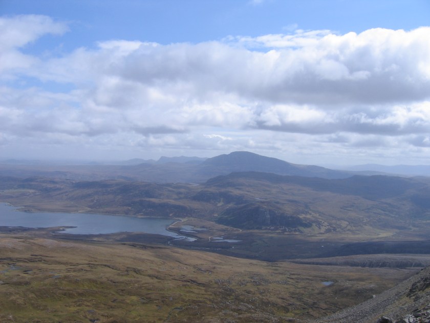
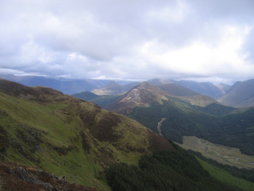
We parked a bit further along the A838 again, this time in a lay-by adjacent to the start of another fantastic stalkers path. The gradual climb up provided views back to the hills we had climbed over the last few days which is always very rewarding but the constant stopping and looking is rather time consuming.


The path eventually levelled out at about 400m and then a decision has to be made. There is a choice of routes to the summit of Beinn Leoid. We chose the one with the most peat hags which allowed us to indulge our masochistic tendencies and we hit the ridge about the same time as the wind hit us.

We had lunch sheltering from the wind in the lee of some conveniently situated boulders and then made a quick descent to the col and up grassy slopes to the summit of Meallan a’ Chuail which we found out later had provided us with an unexpected bonus Graham.


We hit the stalkers path back by a small lochan where Molly amused Bill for 15 minutes with the stick throwing/swimming game.
Day Five: Thursday 14th May
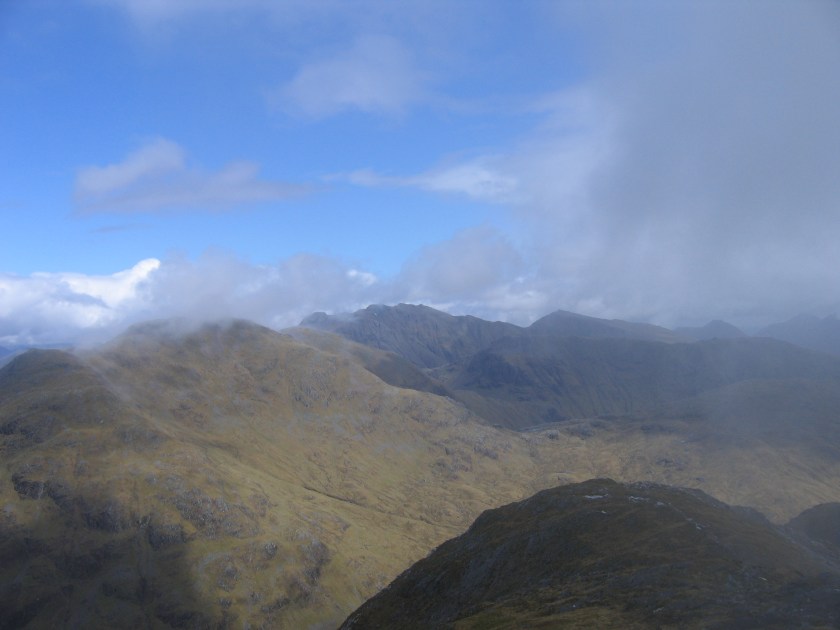
Breabag 815m (Corbett)
Stac Pollaidh 612m (Graham)
Distance: 8 miles
Ascent: 1215m
Weather: More of the same
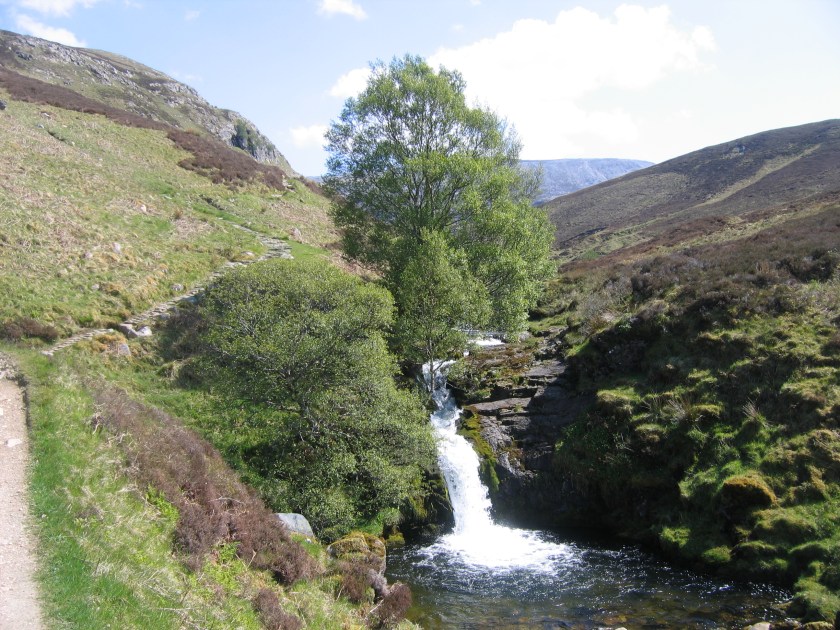
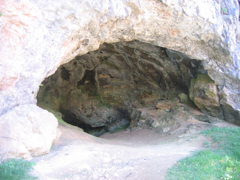
Ever keen for an opportunity for Bill to show off his geological expertise we combined our ascent of Breabag with a visit to the Bone Caves.
The route from the car park follows the Allt nan Uamh past some very attractive waterfalls and gives views of the Bone Caves for much of the walk.


We followed the same route up and back down again………we aren’t very adventurous.

Don’t let the sun and blue sky fool you, it was blowing a hoolie so Bill decided to put all his clothes on just in case.


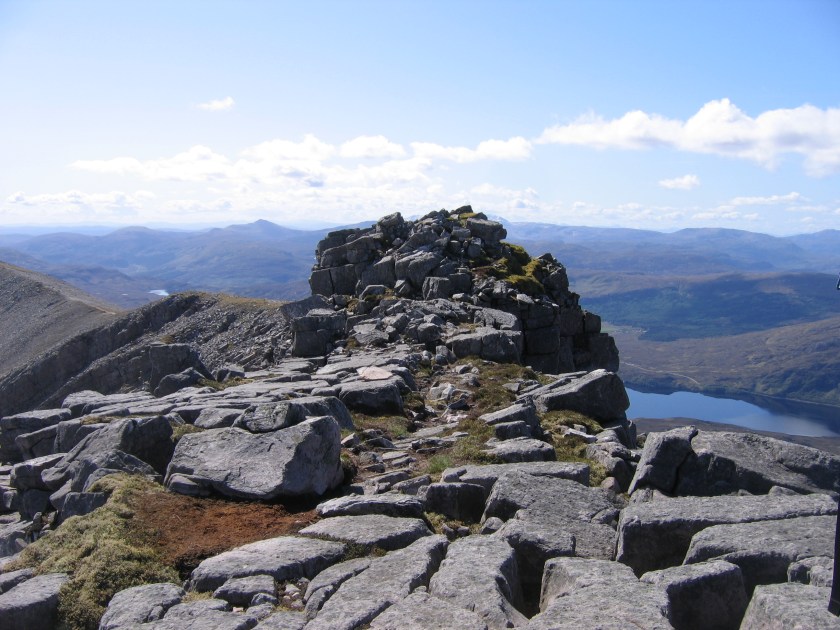
As the day was still young we decided to drive round to Stac Pollaidh. It was absolutely heaving with people. We climbed up the eastern path and then up onto the pinnacled ridge.


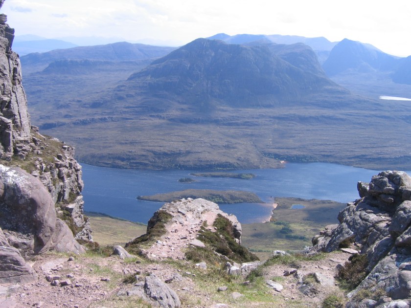

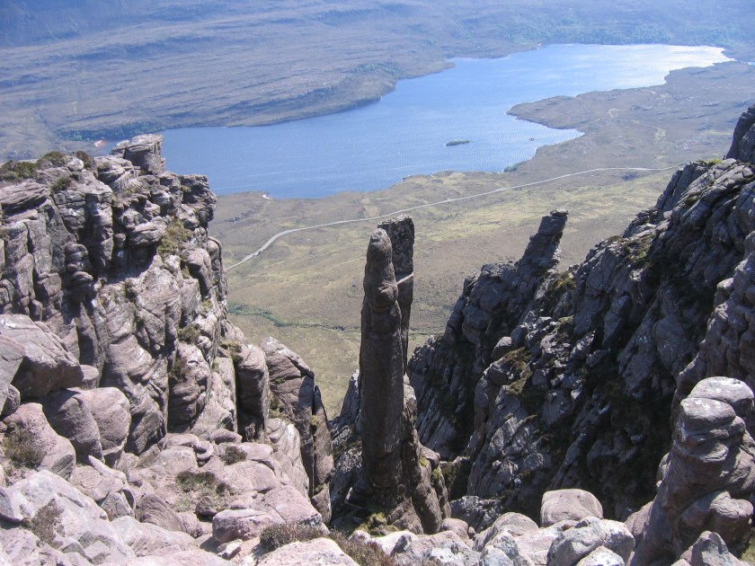
At this stage Bill decided that sitting astride the ridge, holding on for dear life and swearing a lot would be preferable to climbing to the summit, so he stayed behind with Molly whilst I went to the top. Thankfully there were some competent scramblers at the summit who helped me up and down. Short legs are never an advantage in this situation and without their help I would probably still be there today.

Day Six: Friday 15th May
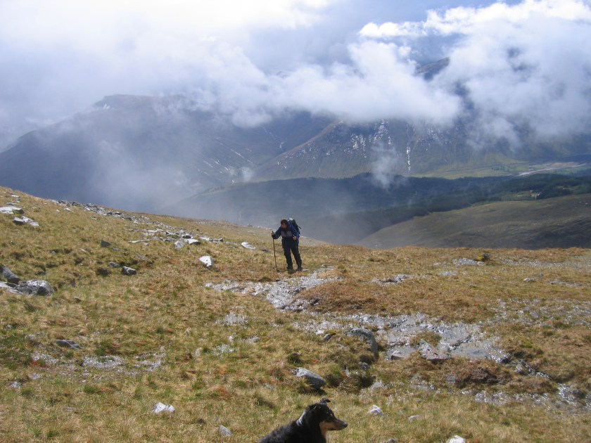
Ben Hee 873m (Corbett)
Distance: 7 miles
Ascent: 800m
Weather: Cloudy, very light showers and very strong winds
All good things come to an end and today the weather finally broke.
We followed the burn onto the Coire nam Mang col and then up to a very, very windy summit and the drizzle started on the way down.

Saturday 16th May
Our rest day was spent travelling down to Fort William. I am not sure how to describe our rented cottage. Crap would be one word. However, the views from the living room window made up for its many shortcomings.

Day Seven: Sunday 17th May
Glas Bheinn 792m (Corbett)
Distance: 16 ½ miles
Ascent: 1, 200m
Weather: Warm, dry and sunny
We parked in Mamore Lodge as this would save walking up from Kinlochleven to Loch Eilde Mor.
This seemed like a good idea at the time.

We then climbed Glas Bheinn by the standard route past Loch Eilde Mor and up via the SW ridge.


Bill is very interested in history and had read ‘Children of the Dead End’ by Patrick MacGill many years ago. Sections of the book describe his experiences in the workers camp during the building of the Blackwater Dam, so we decided to walk down and have a closer look at the dam. When we got there the wind was blowing water over the top but it looked like there was a way to reach the other side by traversing along the base of the dam.

I found this very un-nerving, even more so when we reached the middle with the noise of water crashing out of the reservoir outflow. We followed the fence around this which led up to a flat concrete structure which we later realised was an aqueduct carrying water all the way from the dam to the pipes above the aluminium smelter. We then walked down to look at the workers graveyard which has obviously been lovingly maintained.


Then for some reason, which obviously seemed like a good idea at the time we decided to walk back to Kinlochleven above the river. The walking was great underfoot as we walked along the top of the aqueduct with stunning views down to the river.
However when we got to this point we realised it was still a very long way back to Kinlochleven and we still had to walk back UP to Mamore Lodge!

Day Eight: Monday 18th May
Carn Mor 829m (Corbett)
Distance: 13 miles
Ascent: 1, 120m
Weather: Warm with increasing dampness
The remainder of the week proved that you don’t come to Fort William for your holiday if you want to go home with a suntan.
We were in for a pleasant surprise as the road along Loch Arkaig had been resurfaced since last year so all we had to contend with this year were the twists, turns, bends and blind summits. We got to Strathan and managed to park along the verge despite there being 9 cars already parked.
The track along the south side of Glen Dessary would be excellent for bikes (if we had remembered ours) but it was also very gentle underfoot. We left the forest just above the bothy and climbed the steep grassy slopes onto the Carn Mor ridge.

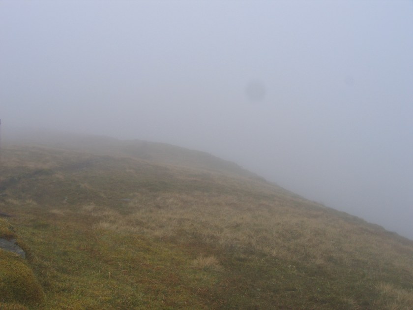
The ridge undulates a lot and the mist came and went………………..mostly came and the drizzle started and stayed with us for the rest of the day. We were treated to glimpses into Glen Pean and managed to get a feeling of the scale of the huge landslip leading from the summit into Glen Pean.

The map didn’t give any idea of the scale of the crags around the summit and in the mist these were quite entertaining but eventually we found the summit cairn and enjoyed the sweeping vistas over Knoydart. NOT.
Rather than retrace all the ups and downs we descended into Coire an Eich and regained the Glen Dessary track, arriving back at the car a very damp 7 ½ hours later.

Day Nine: Tuesday 19th May
Beinn Resipol 845m (Corbett)
Distance: 7 miles
Ascent: 925m
Weather: Warm, dry and sunny
We decided to take the scenic and much longer route to Resipole Farm via Kinlocheil instead of the ferry to allow the weather to improve, and it did.
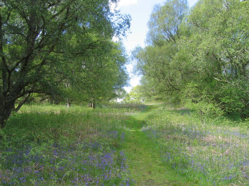
The path leaves directly behind the campsite and climbs through very pleasant oak woodland.
The path followed the Allt Mhic Chiarain all the way into the corrie directly below the summit where we picked an easy route through the crags to the summit. There was a path for 99% of the way so we did not have to concentrate on navigation and could relax and enjoy the views.


Day Ten: Wednesday 20th May
Fraochaidh 879m (Corbett)
Distance: 12 ½ miles
Ascent: 1, 275m
Weather: Sunshine and showers (first shower lasted 3 ½ hours)
Parking in Ballachulish, just past the bridge over the River Laroch, we managed to walk for 10 minutes before it started to rain.
Make sure you don’t miss the two cairns indicating where to drop down and cross the river. We did! Heads down against the rain we both managed to walk past it and only realised when we reached the fence leading into the forest above Glen Duror. We spent the next 15 minutes retracing our steps and blaming each other for our navigational error.
Crossing the river we did battle with some deep heather until we reached the grassy ridge. It was never ending and would no doubt be quite enjoyable in better weather. Finally the ridge ended with a very steep final climb to the summit.
Somebody must have sensed my gloomy mood as the rain stopped and the mist lifted on the way down which allowed us some idea of what we missed on the way up.


Twelve: Friday 22nd May
Beinn Fhionnlaidh 959m (Munro)
Distance: 7 miles
Ascent: 1, 000m
Weather: Sunshine and showers again
This was the last day of our holiday and we thought we had better add a token Munro to our tally. The forecast was promising with cloud lifting during the drive down Glen Etive but it was still sunshine and showers all the way to the top.


Bill is recovering well. He has Sky TV again and is refusing to leave the sofa.
